



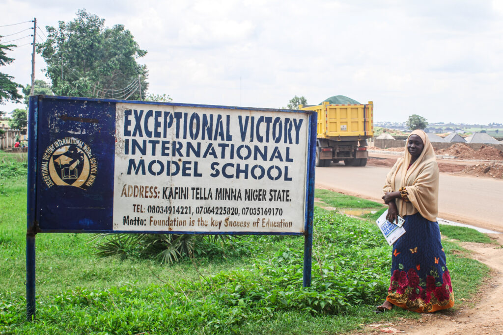

The Geo-mapping Exercise for the TENS II Programme began on Thursday 4th of July 2024, covering all 25 Local Government Areas (LGAs) in Niger State. This critical initiative aims to accurately map educational facilities, resources, and infrastructure across the state. By doing so, the programme seeks to identify gaps, optimise resource allocation, and enhance the overall educational landscape. This foundational data will support strategic planning and informed decision-making, ultimately contributing to the successful transformation of the education sector in Niger State.
The Geo-mapping Exercise utilised the Kobo Toolbox, a user-friendly, technology-based data collection tool designed to operate effectively even in low or no connectivity environments. The tool was chosen as it reduces human error, facilitates collaboration between data collectors and Programme managers, and supports efficient data collection.
This Geo-mapping Exercise is essential for identifying specific educational needs and resources within each LGA. By leveraging this detailed data, the TENS II Programme can tailor interventions to address the unique challenges and opportunities within each locality, ensuring that all children in Niger State have access to quality education.
